Spring has sprung in the heart of Western Montana’s Glacier Country, and the trails are calling us out for hiking and biking adventures—an ideal way to get out and see the region. Check out our expansive networks of trails, whether on foot or bike, and discover routes tailored to every level of adventure and ability. Here are just a few of our favorite trails across Western Montana, perfect for walking, hiking or biking.
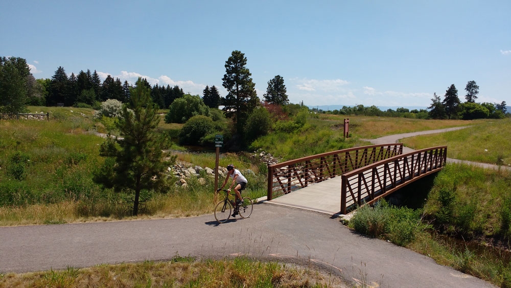
FORT LOOP TRAIL: MISSOULA
Level: Beginner Walk + Bike
Distance: 2.5 miles of trails.
Find adventure in Missoula at Fort Missoula Regional Park. This expansive park features nine multisport fields, tennis courts, a dog park and more, anchored by the 2.5-mile-long Fort Loop Trail, which encircles the entire park. With a total of 7 miles of trails available, adventurers can enjoy a variety of paths, some of which lead directly to the Historical Museum at Fort Missoula. Here, you can explore 20 outdoor historical structures and buildings, each with its own story.
BLUE MOUNTAIN: MISSOULA
Level: Beginner/Intermediate Hike + Intermediate Bike
Distance: 41 miles of looping trails. Start at the trailhead and choose one of the many loops.
After taking in the sights of Missoula, venture south for 2 miles on U.S. Highway 93, then make a right onto Blue Mountain Road. You’ll find the trailhead on the left as the road curves sharply. This local-favorite recreation spot is a gateway to over 41 miles of trails—look at the map for the trailhead before you start your adventure. Your journey kicks off in a mountain meadow with panoramic views of the Missoula Valley and the Sapphire and Rattlesnake mountains, leading up into the tranquil forestland. Whether you opt for a leisurely 3-mile loop or decide to venture farther, the beauty of Blue Mountain makes for a memorable outing.
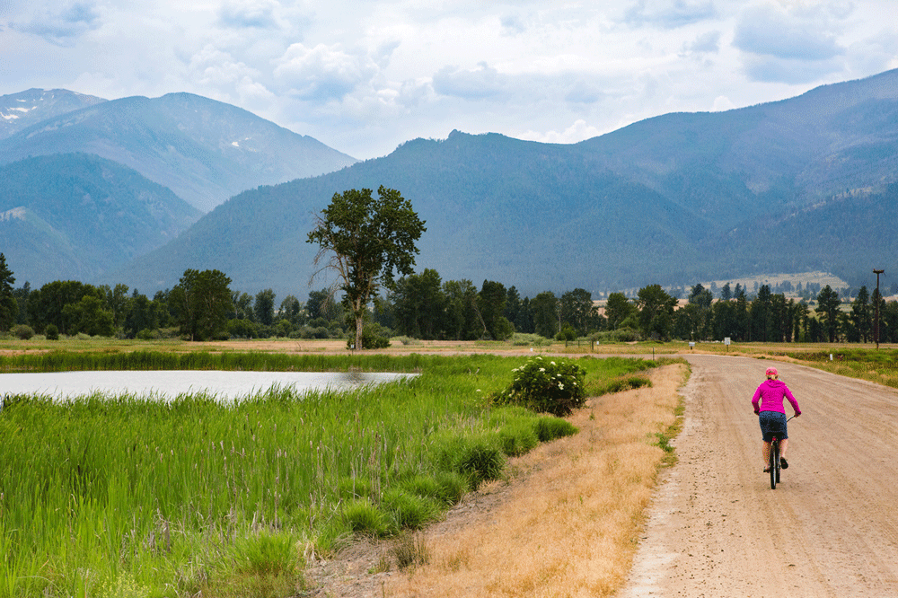
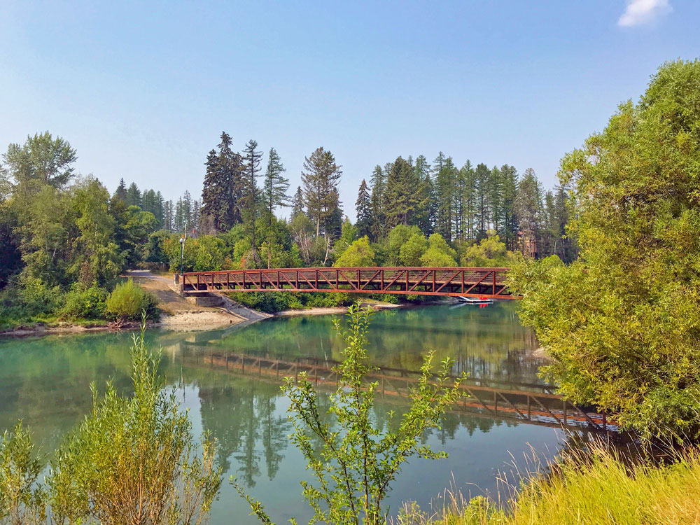
GREAT NORTHERN RAILS TO TRAILS: KILA, KALISPELL, SOMERS
Level: Beginner/Intermediate Hike + Bike
Distance: 44 miles round trip. Start wherever you’d like and simply turn back at any point.
Traverse the landscapes of Western Montana on the Great Northern Historical Trail, stretching 22 miles from Somers at the northern tip of Flathead Lake, through Kalispell and down to the quaint community of Kila (where amenities are sparse but parking is ample). Whether you depart from Somers, Kila or Kalispell, you’re in for a scenic treat. This trail, tracing the old Great Northern Railway line, offers unparalleled views of the Swan, Mission, Salish, and Whitefish mountain ranges. To access the trail from Kalispell, simply head west to the crossroads of U.S. Highway 2 and Spring Creek Road, where parking is available just east of this junction.
WHITEFISH RIVER PATH: WHITEFISH
Level: Beginner/Intermediate Hike + Bike
Distance: 47 miles of trails. Start at numerous entry points around Whitefish and simply turn back at any point.
Whitefish offers a well-maintained network of in-town trails, accessible throughout the year. Start your journey on the Whitefish River Trail at Riverside Park, a paved path that meanders through the town alongside the river and skirts the edge of Whitefish Lake. This route leads you to Reservoir Road, a mere 0.5 miles from the Reservoir Trailhead of The Whitefish Trail. With 15 trailheads in total, The Whitefish Trail offers 47 miles of single-track trails.
CLARK FORK RIVER TRAIL #223: ST. REGIS
Level: Intermediate Hike + Bike
Distance: 18 miles round trip.
Set off from St. Regis, heading east for 11 miles on State Highway 135, until you reach the Ferry Landing fishing access on the north side of the highway—your gateway to the Clark Fork River Trail. Nestled in the heart of Lolo National Forest, this trail offers a serene journey along the Clark Fork River, stretching between Paradise and St. Regis. You’ll glide through old-growth forests and wildflower-filled meadows on a smooth single-track that promises both peacefulness and challenge. The initial switchbacks might test your resolve, but the epic views and the rhythm of the river make every pedal stroke worth the effort.
LAKE COMO TRAIL: DARBY
Level: Intermediate Hike + Advanced Bike
Distance: 8 miles round trip.
After soaking in the Old West allure of Darby, journey north for 4 miles on U.S. Highway 93 before taking a left onto Lake Como Road. Continue for 3 miles to find the campground and trailhead on your right. The Lake Como Trail presents an inviting challenge: It’s relatively flat but demands technical prowess. As you weave around Lake Como, each turn reveals another scenic view—from cascading waterfalls to awe-inspiring peaks.
GEAR UP
- Spring weather is unpredictable. Dress in layers and bring a rain jacket. Wear worn-in, comfortable shoes.
- It’s important to stay safe in the sometimes-remote Western Montana wilderness. If biking, wear a helmet.
- Pack a light backpack with water, snacks, a map and, if biking, a tire pump.
- Carry bear spray with you—you never know what wildlife you’ll encounter, especially in the more remote areas.
Find more Western Montana’s Glacier Country hiking and biking trails online. Helpful trail maps can also be found at local visitor centers, ranger stations and forest service offices. Bike rentals are available throughout the region.
Please note: We ask that all our visitors and residents Recreate Responsibly by being mindful of the following: know before you go; plan ahead; play it safe; leave no trace; tread lightly; and help build an inclusive outdoors.
April 8, 2024
Related: Biking, Bitterroot Valley, Darby, Family Fun, Hiking, Kalispell, Kila, Missoula, Montana, Outdoor Fun, Somers, Spring Fun, Vacation, Whitefish
Comments