Western Montana’s Glacier Country stretches from the Canadian border to the Bitterroot Valley, offering an expansive landscape of forests, rivers, peaks and small communities. With so many miles of trail to explore, choosing where to begin can feel like a challenge. What started as a list of 10 favorite hikes quickly grew beyond a single post, so we’ve shared this guide in two parts.
Part One features trails in the southern portion of the region, including the Seeley Swan Valley, the Bitterroot Valley and Missoula. Part Two highlights the Flathead National Forest, Glacier National Park, the Tobacco Valley and additional northern destinations.
Before setting out, it helps to be prepared. Hiking in Western Montana offers moments of quiet, connection and discovery, and thoughtful planning ensures you can enjoy the experience fully and safely.

TRAIL TIPS FOR EXPLORING WESTERN MONTANA
1. Dress in layers and wear comfortable, well-fitted footwear.
Weather can vary, even in summer, and broken-in hiking shoes or boots offer stability and comfort on uneven terrain.
2. Be bear aware.
Make noise, carry bear spray and know how to use it. Western Montana is bear country, and responsible recreation helps protect both people and wildlife. Always observe wildlife from a distance and never feed animals.
3. Pack essentials.
Bring water, snacks, extra layers and a camera or phone. Staying hydrated and prepared allows you to focus on the experience rather than the logistics.
4. Stay on designated trails.
Trails are designed to protect ecosystems and help keep you oriented. Remaining on marked routes also reduces your impact on sensitive landscapes.
5. Ask local experts.
Visitor centers, outfitters, forest service offices and community members can offer helpful insight into current conditions and suggested routes.
With the basics covered, here are several standout trails in the southern part of Western Montana.
FEATURED HIKES IN THE SEELEY SWAN, MISSOULA AND BITTERROOT VALLEYS
Morrell Falls
ROUND-TRIP: 2.7 miles
BONUS: Dog-friendly
DIRECTIONS: From Seeley Lake, travel 0.5 miles north on State Highway 83. Turn right onto Morrell Creek Road, which becomes Forest Service Road 477/Cottonwood Lakes Road. Continue just over 1 mile, then turn left on West Morrell Road 4353 and drive about 6 miles. Turn right on Pyramid Pass Road 4381 for 0.25 miles, then left on Morrell Falls Road 4364. Continue 1 mile to the trailhead.
Turquoise Lake
Round-Trip: 12.2 miles
Option: Continue to Lace Lake if time allows.
Directions: In the Swan Valley, head south on MT-83. Just past mile marker 38 south of Condon, turn right onto Kraft Creek Road. Drive 11.5 miles to Glacier Creek Trail 690. Follow this trail for 3 miles to Turquoise Lake Trail 708, then continue another 3 miles to reach the lake.
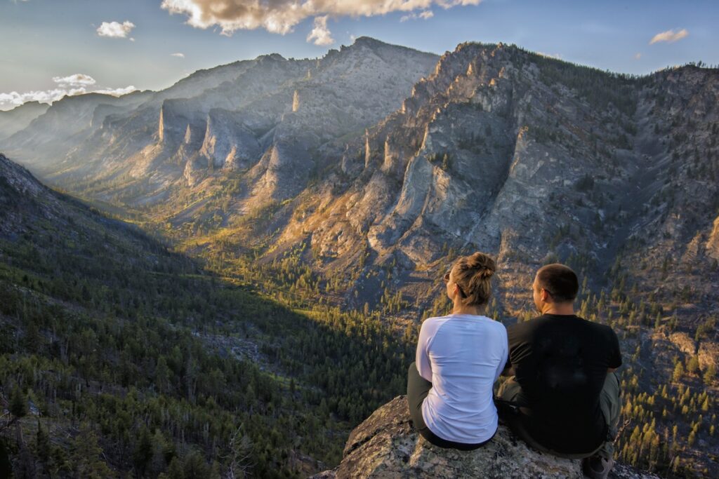
Blodgett Canyon Overlook
Round-Trip: 3 miles
Bonus: Benches along the trail provide excellent places to pause and enjoy the Bitterroot Mountains.
Directions: From Hamilton, travel west on Main Street following signs for Forest Service Road 735 to the Blodgett Trailhead.

Lake Como Loop Trail
Round-Trip: 7.5 miles
Highlights: A scenic location for hiking and biking, with lake views and access to Rock Creek Falls.
Directions: Between Hamilton and Darby, take Lake Como Road off US Highway 93. The trailhead is located on the north side of the lake, near the campground.

Kootenai Creek
Round-Trip: Up to 18 miles
Option: The Kootenai lakes lie 9 miles in for those seeking a longer outing.
Directions: From the Stevensville junction on US-93, travel north 1 mile, then turn west on Kootenai Creek Road and continue 2 miles to the trailhead.
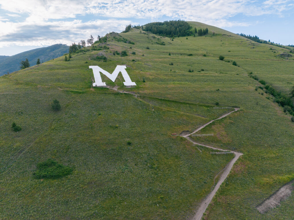
Mount Sentinel (“The M”)
Round-Trip: 1.75 miles
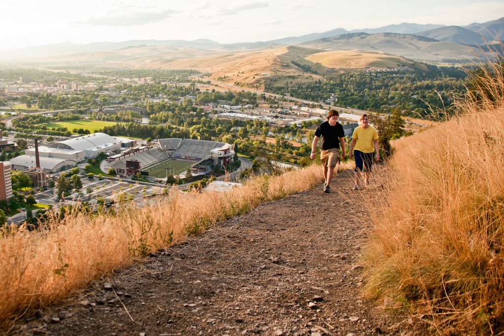
Highlights: A steep, iconic climb offering panoramic views of the Missoula Valley.
Directions: Begin at the eastern edge of the University of Montana campus. The popular trail ascends 620 feet over 11 switchbacks.

Please note: We ask that all our visitors and residents recreate responsibly by being mindful of the following: know before you go; plan ahead; play it safe; leave no trace; tread lightly; and help build an inclusive outdoors.
Updated December 19, 2025
April 3, 2017
Related: Bitterroot Valley, Condon, Darby, Family Fun, Getting Around, Hamilton, Hiking, Missoula, Outdoor Fun, Parks, Seeley Lake, Seeley-Swan Corridor, Spring Fun, Stevensville, Summer Fun, Vacation


Comments