Part One of this series highlighted several favorite trails in the southern portion of Western Montana, including routes throughout the Seeley Swan Valley and the Bitterroot Valley. In this post, we continue the journey north, exploring trails near State Highway 200, the Jewel Basin, Tobacco Valley and Glacier National Park.
Here are a few reminders to help you enjoy Western Montana’s hiking trails safely and responsibly.
TRAIL BASICS
1. Dress in layers and wear comfortable, broken-in footwear.
Weather can shift quickly, even in summer, and supportive shoes or boots help keep you steady on uneven terrain.
2. Be bear aware.
Make noise, travel in groups when possible and always carry bear spray. Never approach or feed wildlife.
3. Bring the essentials.
Pack water, snacks, a map and a camera or phone. Staying prepared allows you to focus on the experience.
4. Stay on designated trails.
Marked routes help protect fragile landscapes and improve safety.
5. Ask local experts.
Visitor centers, forest service offices and knowledgeable community members can provide up-to-date information on conditions.
With these tips in mind, here are several outstanding hikes in the northern portion of Western Montana’s Glacier Country.
FEATURED HIKES IN NORTHERN GLACIER COUNTRY
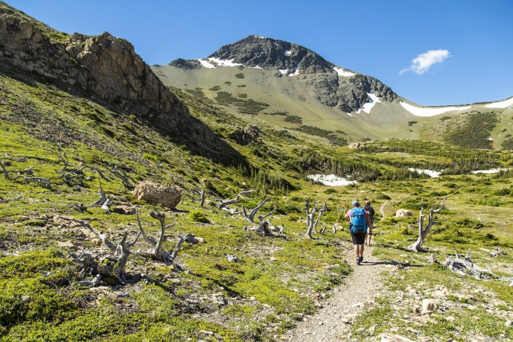
Firebrand Pass
Round-Trip: 10 miles
Permit: National Parks Pass required
Highlights: Wildflowers, aspen groves and views of Skeleton, Calf Robe and Red Crow mountains.
Directions: From East Glacier Park, travel roughly 6 miles southwest along U.S. Highway 2. Look for a small gravel pullout at mile marker 203 on the west side of the highway across from the tracks. Park in the pullout, then cross the railroad tracks on foot to reach the signed Lubec Trailhead for Firebrand Pass.
Huckleberry Mountain Lookout
Round-Trip: 12 miles
Permit: National Parks Pass required
Highlights: Wide-ranging views and seasonal huckleberry habitat—an area where bears are often active.
Directions: From the Apgar Visitor Center in West Glacier, enter the Going-to-the-Sun Road. After approximately 2 miles, turn left onto Camas Road. The trailhead is located 6 miles ahead on the left. For a shorter option, continue up Camas Road to the half-mile Huckleberry Nature Trail.
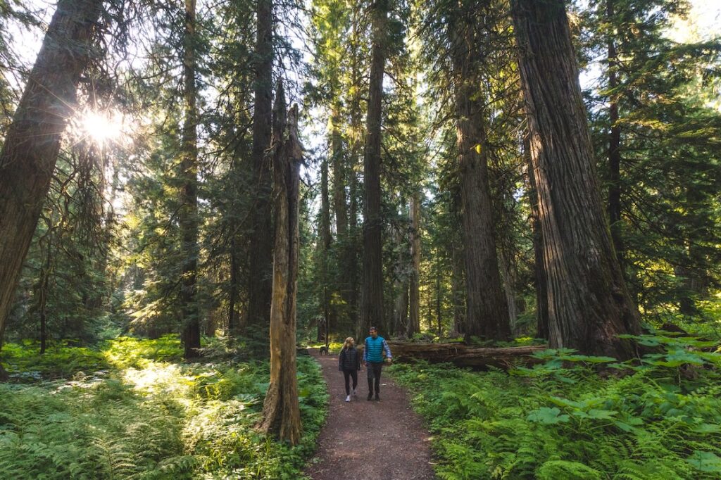
Ross Creek Cedars Scenic Area
Round-Trip: 1 mile
Highlights: A quiet walk among centuries-old western red cedars.
Directions: From Thompson Falls, travel northwest on MT-200 to State Highway 56. You may also reach MT-56 from State Highway 2 via Troy or Libby. South of Bull Lake, turn east onto Forest Service Road 398 (Bull Lake Road) and drive 4 miles to the parking area. Continue 2 miles farther for a scenic overlook of the Cabinet Mountains and Bull River Valley.
Powerhouse Loop Trail
Round-Trip: 2.3 miles
Bonus: Dog-friendly
Directions: From Main Street (MT-200) in Thompson Falls, turn left on Pond Street, then left again on Maiden Lane to reach PPL Montana Power Park. Follow the signs near the powerhouse gates to begin the loop.
Little North Fork Falls
Round-Trip: Under 1 mile
Highlights: A short walk leading to a beautiful waterfall.
Directions: From Rexford, travel 7 miles south past the Koocanusa Bridge. Turn onto Road 336 and continue 1 mile to the signed trail.
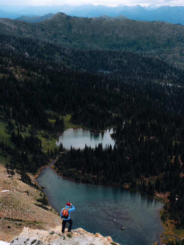
Mount Aeneas
Round-Trip: 6 miles
Highlights: Sweeping views of Glacier National Park, the Flathead Valley and the Bob Marshall Wilderness; frequent mountain goat sightings.
Directions: From State Highway 83 north of Bigfork, take Echo Lake Road north and turn right onto Foothill Road. Follow Foothill as it continues onto Jewel Basin Road, then drive approximately 11 miles to Camp Misery Trailhead. Follow the old service road behind the gate for 1 mile before joining Trail 717 to the ridge.
Swift Creek Trail
Round-Trip: 3–6 miles
Bonus: Includes an ADA-accessible trail to the Swift Creek overlook.
Directions: From Whitefish, travel north on Baker Avenue as it becomes Wisconsin Avenue, then continue on East Lakeshore Drive along the western shore of Whitefish Lake. Pass Big Mountain Road and continue 5.9 miles to the trailhead.
Please note: We ask that all our visitors and residents recreate responsibly by being mindful of the following: know before you go; plan ahead; play it safe; leave no trace; tread lightly; and help build an inclusive outdoors.
Updated December 19, 2025
April 10, 2017
Related: Bigfork, Flathead Corridor, Glacier National Park, Hiking, Libby, Montana, Northwest Corridor, Outdoor Fun, Rexford, Seeley-Swan Corridor, Thompson Falls, Troy, Vacation, West Glacier, Whitefish
Comments